4th of July Hike at Quabbin

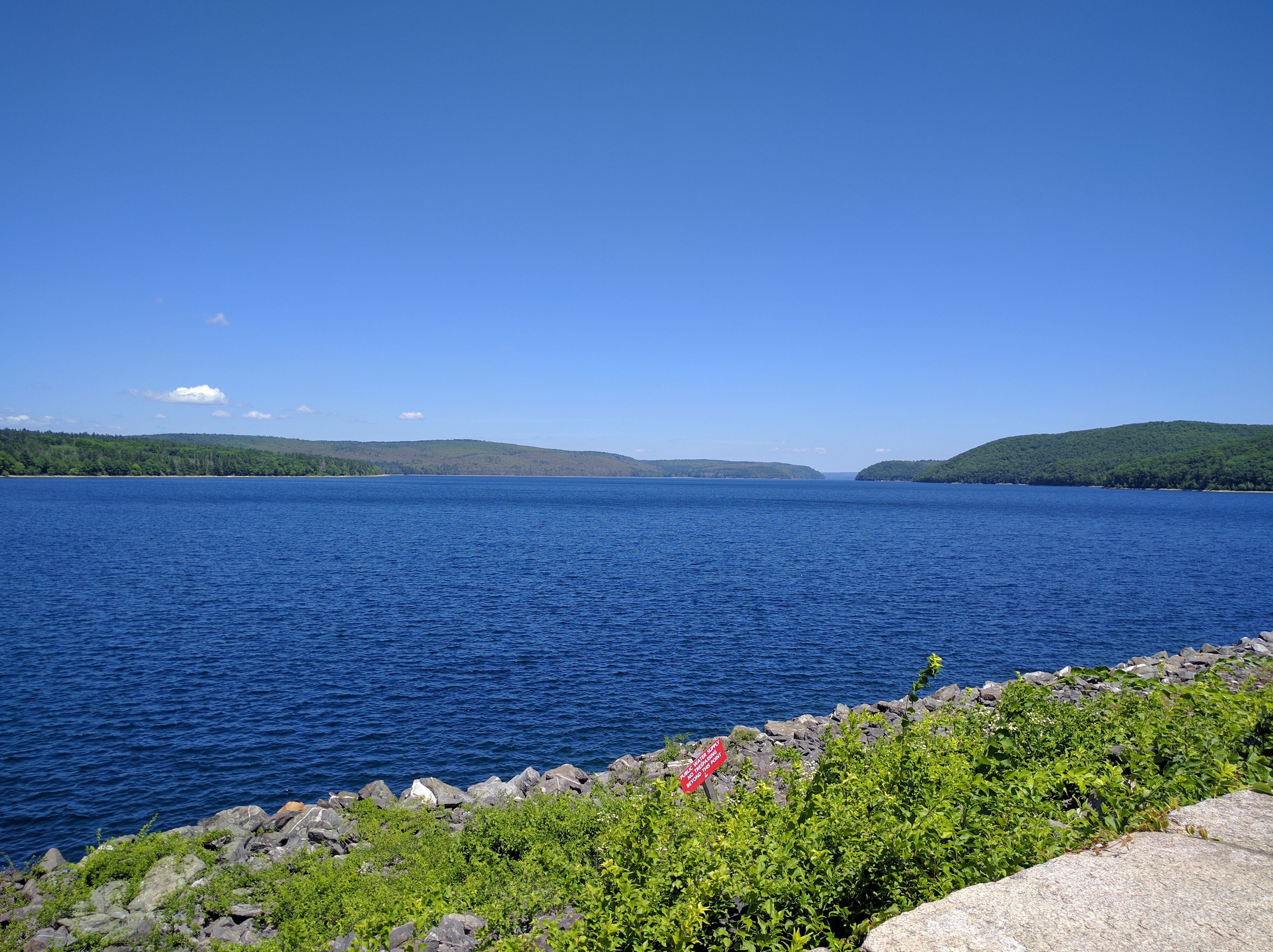
Quabbin Reservoir is a massive place in the center of Massachusetts. Well, massive by state standards. At the southern point, there are a number of nice hiking trails to better enjoy the area. You can also drive between most of the points, but the walk lets you see the area in far greater detail. And some of the views are far better than what you can see from a car or parking lot. Quabbin also has a personal history for me when I used to intern at Mass Fish & Wildlife in college. I carried out Loon research and helped the Eagle Restoration project for a summer in between trips to central Maine to do more research. I know the area fairly well and knew these trails would be a nice day hike.
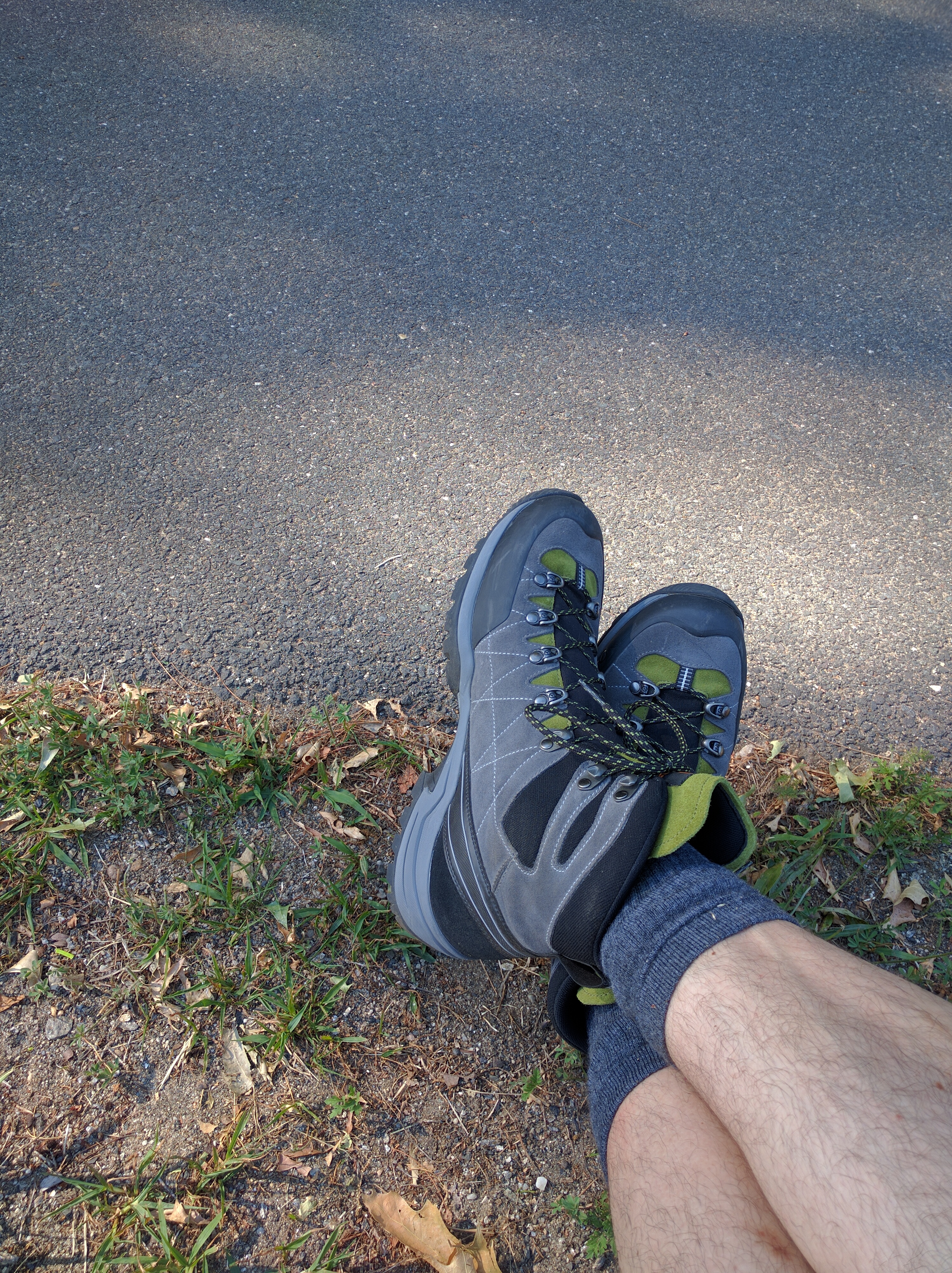
On July 3rd, we went to research backpacks, as neither of us really has an appropriate hiking backpack. Naturally, backpacks are designed by men for men. This becomes obvious when a woman tries on a few backpacks and the sizing is off, the front straps and the sternum strap are not designed for any sort of female chest, and the whole geometry of the bag is clearly designed for male proportions. Sure, there are some "women-specific" packs, but they are mostly the same as the unisex (read male) packs but come in more hideous color combinations (how many bad shades of pink can one cram into a pack?). The whole experience will be another blog post. The people at Eastern Mountain Sports were very nice and did provide lots of help when asked. We ended up not buying a backpack and just planning to use what we already owned. I did get a new pair of Scarpa R-Evolution GTX backpacking boots. I figured the Quabbin hike with a decent weight in the pack would be a great way to break them in.

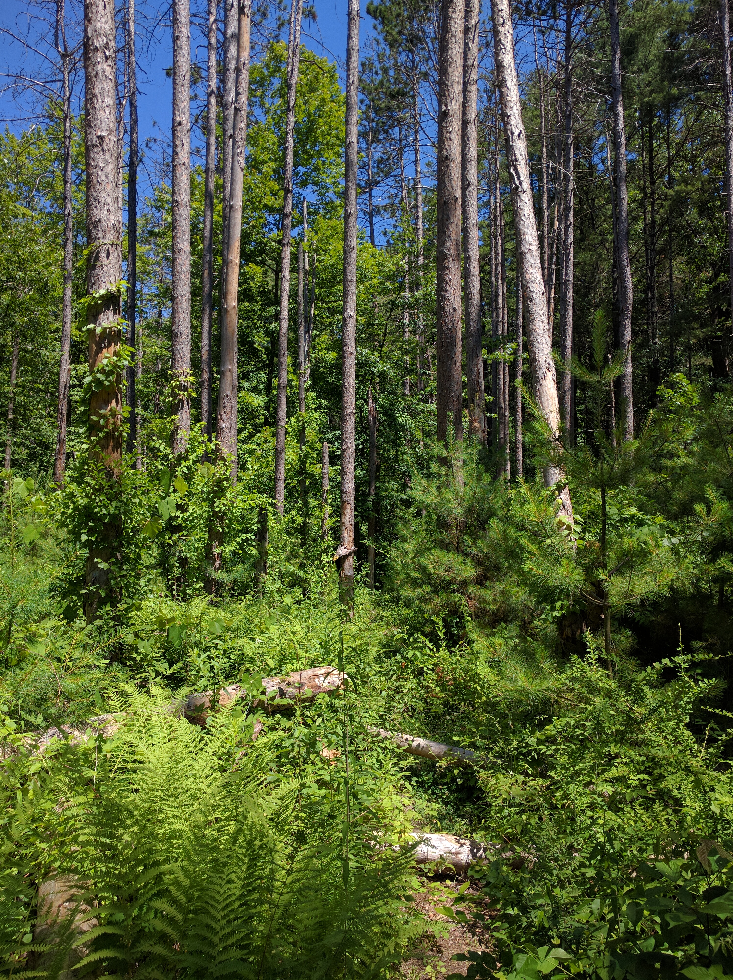
We awoke early in the morning and head out to Harry's Restaurant for breakfast. After a filling meal, we arrived at the Quabbin Visitor Center. We packed up and head out. We brought minimal supplies, because it was just a day hike. And we're always within a quick drive to food if we get desperate. Some cashews, fresh peaches, bottle of water, and bottle of goat's milk yoggi were it for the day. I purposely packed a bit heavier with my full complement of camera gear, zoom lens, portable solar panel, and a tripod. Cross Windsor Dam, across the spillway, and off the pavement into the trails. Here's a full complement of pictures from the day.

After about 5 hours of hiking around, up hills, down hills, around the edge of the water, my heavy pack became a dead weight. According to my Google Fit stats, my pace slowed dramatically in the last hour. Probably not the smartest plan to pack a heavy bag and walk around for a few hours one week after a major bike accident. However, we changed the last waypoint and headed back to the Visitor's Center.
We then head off to Petersham to visit the Country Store, refresh ourselves, and explore the local cemeteries for ancestors. The Country Store is where I used to stop to get lunch every day I was at Quabbin during college. It's changed hands a few times, but hasn't dramatically changed much over the decades.
Cemeteries are another blog post in their own right. I've been to a handful, and start to have thoughts like, "What's the most efficient path to take to cover the maximum ground to find gravestone X?" "How long do gravestones last?" "Is granite or bronze better for maximum readability a very long time in the future?" We found what we were looking for and head off to find dinner.
The few places we stopped at were all closed. Of course, this gave us the perfect excuse to return to Harry's to finish the day. Another satisfying meal later, and we head home to clean up and pass out.